 By
Photo: Wusel007 / Wikimedia Commons, CC BY-SA 3.0
Every new subdivision, brewery and farm in Northern Colorado depends on water that was claimed, moved or stored long before most residents arrived. The system is complicated, but it rests on a few pieces that are easy to understand once you see how they fit together.
The rule: first in time, first in right
Colorado allocates water under the doctrine of prior appropriation, written into the state constitution in 1876. A water right belongs to whoever first put the water to beneficial use, and in a dry year the oldest rights are filled first. Some of the oldest rights on the Cache la Poudre River belong to ditches dug by farmers in the Greeley area in the early 1870s. Water rights can be bought and sold separately from land, which is why cities and developers have spent decades buying shares in irrigation ditches.
The Poudre
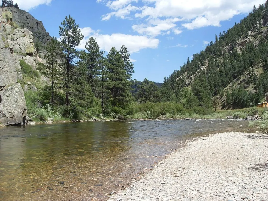
The Cache la Poudre River drains the high country west of Fort Collins and runs through Poudre Canyon onto the plains, where it joins the South Platte near Greeley. A stretch of it in the canyon is Colorado’s only designated National Wild and Scenic River, a status Congress granted in 1986. On the plains, most of its flow is diverted into a network of irrigation ditches and reservoirs.
The big import: the Colorado-Big Thompson Project
The Colorado-Big Thompson Project, built by the U.S. Bureau of Reclamation between the late 1930s and 1957, brings water from the Colorado River’s headwaters on the west side of the Continental Divide to the Front Range. Water collected in Lake Granby and nearby reservoirs is pumped to Grand Lake and sent east through the Alva B. Adams Tunnel, about 13 miles long, under Rocky Mountain National Park. On the east side it drops through power plants into Horsetooth Reservoir west of Fort Collins, Carter Lake and other storage.
The project is run by the Northern Colorado Water Conservancy District, known as Northern Water, based in Berthoud. Its service area covers parts of eight counties.
Units and the annual quota
C-BT water is divided into 310,000 units, owned by cities, water districts, farmers and companies. Each spring, usually in April, Northern Water’s board sets a quota that determines how much water each unit delivers that year, based on snowpack and storage. At a 100 percent quota a unit delivers one acre-foot; at 70 percent it delivers 0.7. Because units can be traded, their market price is a closely watched number in regional growth debates.
Why a tap costs what it does
When a new home connects to a city system, the buyer or builder usually pays two kinds of charges. One covers treatment plants and pipes. The other covers the raw water itself: many Northern Colorado utilities require developers to turn over water rights or pay cash in lieu of them. When the price of C-BT units and ditch shares rises, so does the cost of new development. Each utility publishes its own fee schedule.
What’s next
To firm up supplies, Northern Water and its partners have been building Chimney Hollow Reservoir west of Carter Lake as part of the Windy Gap Firming Project, and have pursued the Northern Integrated Supply Project, which would include Glade Reservoir northwest of Fort Collins. Both have faced legal and environmental challenges.
Sources
- Northern Water: C-BT project history, units and quota decisions.
- U.S. Bureau of Reclamation, Colorado-Big Thompson Project.
- Colorado Division of Water Resources.
- National Wild and Scenic Rivers System, Cache la Poudre.